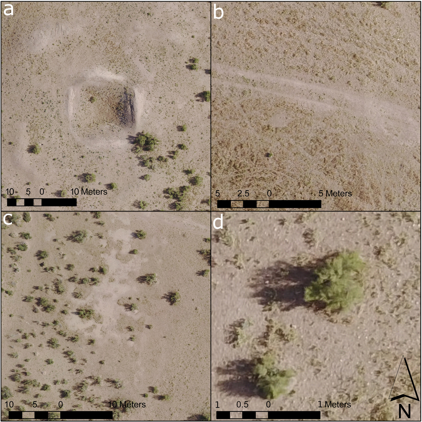
Figure 6 in this article (Olson and Rouse Reference Olson and Rouse2018) showed an inaccurate scale in parts a and d. The corrected Figure 6 is shown below.
FIGURE 6.
Details of topographic features identified in the models: (a) old excavation trenches and backfill, (b) tire tracks and livestock paths, (c) distinction between bare clay ground surface (takyr) and sand cover, and (d) individual bushes.